Stony Brook Storm Surge Research Group
The Meteorological Model
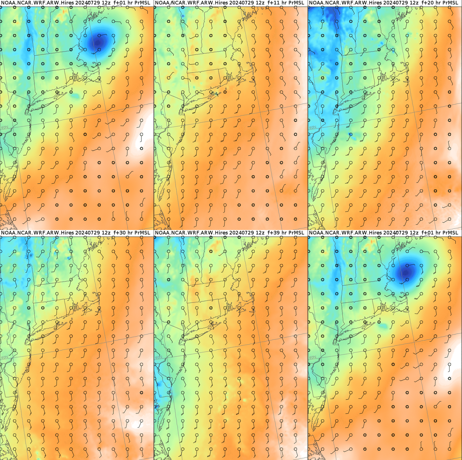
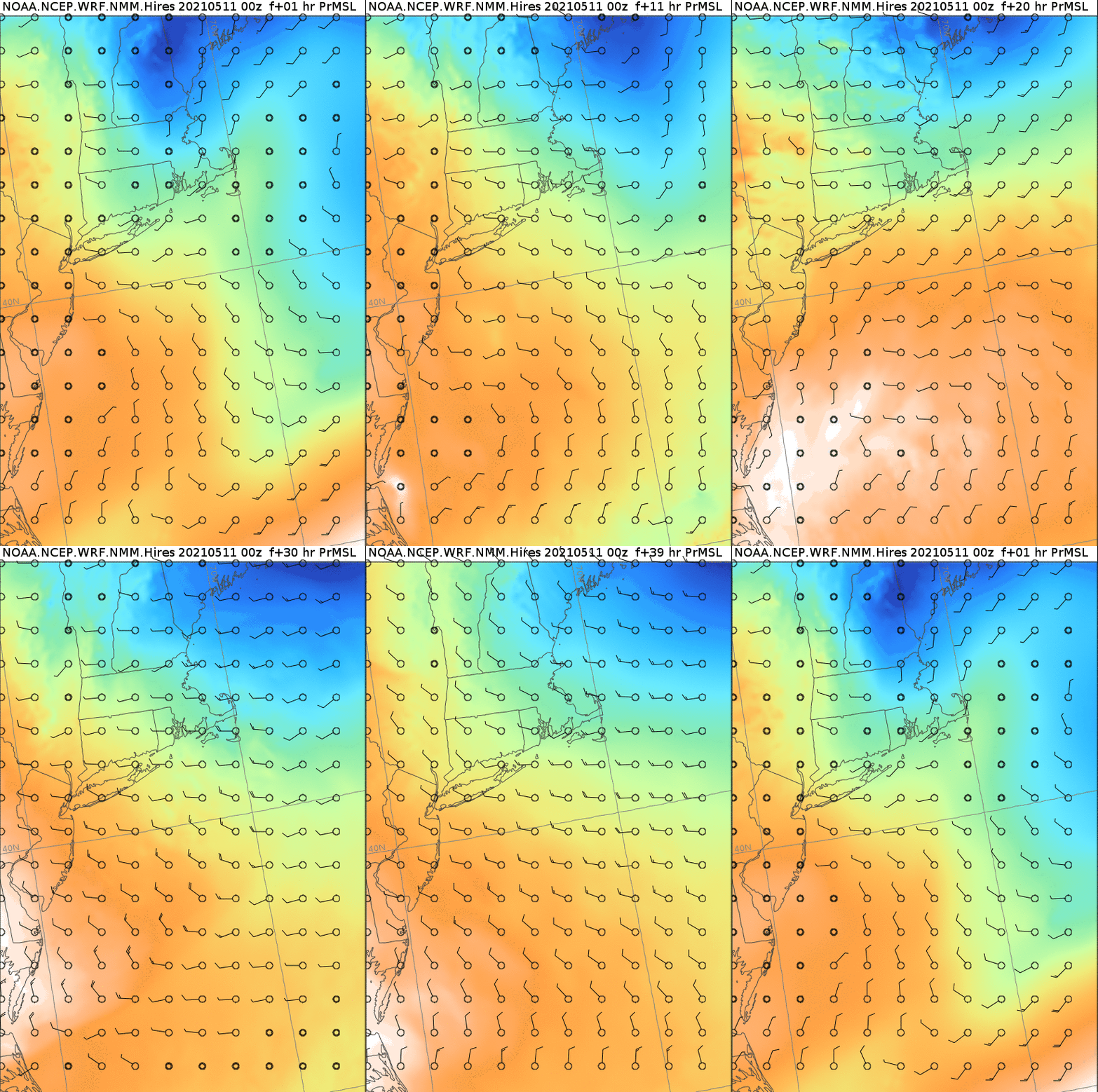
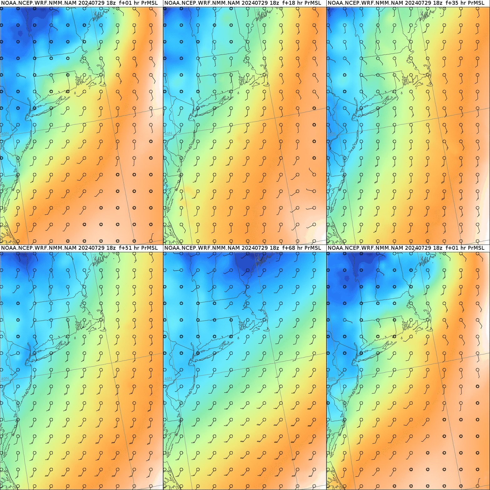
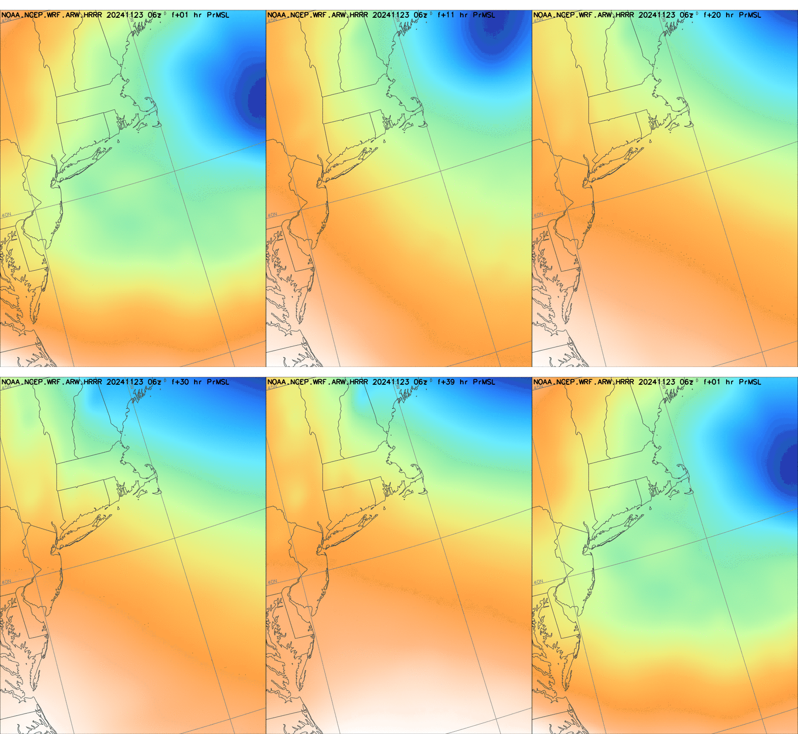
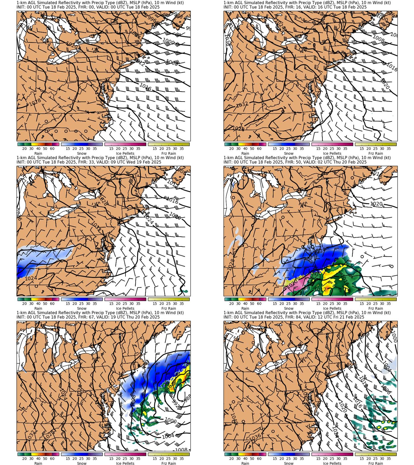
A critically important component for accurate storm surge prediction is the atmospheric model. Since 1999, in collaboration with several National Weather Service (NWS) forecast offices; the Stony Brook University School of Marine and Atmospheric Sciences has been running a meteorological model in real time, twice daily posting the results on the Web . The newly available Weather Research and Forecasting model (WRF) is available each day. The process is fully automated, so that WRF forecasts are available 24/7. Local NWS forecasters use the information to announce forecasts affecting 10 million residents in the region.
Storm Surges are created by surface winds and a drop in barometric pressure. A representation of the meteorological conditions in hurricanes and severe nor 'easters is needed to drive the hydrodynamics in ADCIRC. Fortunately, the Stony Brook University School of Marine and Atmospheric Sciences (SoMAS) has several years of experience in applying and refining the meteorological model for the local weather forecasting.
The domain of the WRF model centered in New York City, covers most of New Jersey and Connecticut and extends out to sea to the edge of the continental shelf. The local WRF model is driven by atmospheric conditions simulated in the two larger National Weather Service models in which it is embedded, which have domains extending across the country but with coarser resolution.
SoMAS WRF-ARW
The Hydrodynamic Model and Database
To simulate the hydrodynamics of the region the ADCIRC (Advance Circulation Model for Coastal Ocean Hydrodynamics) model was selected. ADCIRC is a system of computer models for solving time-independent, free-surface circulation and transport problems in two dimensions. It was developed to model tidally and wind-driven circulation in coastal waters, and for forecasting hurricane storm surge and flooding. It has been applied extensively to New Orleans, the most severally threatened coastal region in the country.
Unlike other similar models of the waterways in the metropolitan region, ADCIRC can represent coastal flooding, showing the extent to which floodwaters reach inland and then retreat. To make use of this capability, a unique database had to be developed for the metropolitan region that seamlessly integrates bathymetric and topographic data. Bathymetric data showing water depths and topological data showing land elevations have been developed for different purposes by different government agencies at different times, and they are referenced to different vertical datums. Moreover, both the bathymetric and topographic datums themselves have changed over time. Tidal datum levels change spatially because of spatial changes in tide range, dredging of waterways, and changes in weather conditions, and sea-level rise. Both bathymetric and topographic data were converted to North American Datum of 1983 (NAD 83). Using data from many different sources available in early 2002. Improved data continues to become available due to changing terrain and improved technology we anticipate that the combined bathymetric-topographic database will be updated as our interests expand to larger areas and better data becomes available.
Disclaimer: This is a research product still under development and should never be used for emergency management decisions relating to protection of life or property under any circumstances.


